
Why advanced weather data deserves a permanent seat on the bridge
11 August 2026
Ask any navigating officer what keeps them up at night, and chances are they’ll mention the weather. Not the seven-day forecast on the evening news, but the kind of granular, route-specific weather conditions that decide whether a voyage arrives safely and on schedule. In an industry under growing pressure to cut emissions, meet tighter compliance requirements and protect increasingly thin margins, weather data has quietly become one of the most valuable tools on the bridge.
The cost of getting it wrong
Heavy weather remains one of the most persistent contributors to marine casualties. Scientific studies have repeatedly flagged weather-related conditions as a recurring factor in incident investigations. Beyond the immediate safety risk, a poorly timed encounter with a storm system can mean diverted routes, missed port slots, cargo damage claims and costly delays.
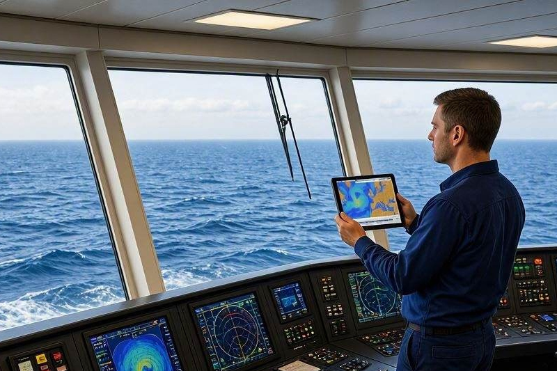
Luckily, thanks to modern technology, most of this is avoidable. Advanced weather data helps crews anticipate adverse weather conditions and take appropriate actions, such as plotting alternative routes, adapting speed or heading.
Fuel, emissions and the numbers that matter to owners
Weather routing is first and foremost about safety, but it is increasingly a financial matter too. IMO's GreenVoyage2050 programme puts the fuel-saving potential of weather routing at between 0.5 and 5%, depending on ship size, type and the trade a vessel typically sails. With EEXI, CII and the broader IMO decarbonisation agenda tightening the screws on every voyage, that kind of margin is no longer a nice-to-have, it is becoming a competitive necessity.
Sailing into a headwind or a contrary current that could have been avoided with the right weather insights costs time, fuel, and emissions that owners now have to account for. Good weather data, applied consistently, is one of the simplest levers a fleet has to improve its efficiency numbers without touching the hardware.
Why static charts are no longer enough
Some fleet owners opt for daily updates from official authorities, others expect their crew to check stand-alone weather forecasts themselves. But those who invest in real-time weather data integrated in their journey planning are the ones who can actually make informed decisions without spending hours on weather research and comparisons.
Modern bridge crew are expected to make faster decisions with more variables in play than ever before: congested shipping lanes, tighter ETAs, stricter compliance reporting, and weather systems that can shift faster than a passage plan can be redrawn by hand. Static planning tools simply were not built for that pace.
Where Bogerd Martin fits in
This is exactly the gap Bogerd Martin’s digital solutions are built to close. Navigator Suite's voyage optimisation module can be extended with enhanced weather data, which draws on low-Earth orbit satellites for higher resolution, longer-range forecasts. Wind, waves, swell, temperature, pressure, precipitation, ice and current layers sit inside the same screen used to plan the route for the desired arrival time, the fastest passage, the lowest fuel cost or the best time charter equivalent, and the finished route can be published to shore and validated there, so ship and office are working from the same picture.
A steadier course
Weather will never be fully tamed. Quite the contrary, as extreme weather conditions are becoming more and more prevalent. However, provided the data reaches the bridge with enough detail and enough lead time to act on it, fleet teams can act upon weather risks and protect their crew, the vessel and its operations.
If your fleet's weather data still means checking a separate source and manually lining it up with the route, it is worth asking what that is costing in fuel, in delay, and in risk. Get in touch with the Bogerd Martin team to discover how our digital solutions can transform your operations by integrating advanced weather data where it belongs: on the bridge, integrated in the voyage planning procedure.